Dronehab actively manages more than 10,000 hectares of environmental offset country for resource-sector clients — surveyed, treated and reported as ongoing programs, not one-off visits.

Significant projects
- BHP · 2025 — Vegetation Offset Management, Reporting & Surveying. Aerial surveying, weed-density mapping, treatment planning, GPS field reporting and compliance documentation supporting environmental offset monitoring and vegetation-condition assessment.
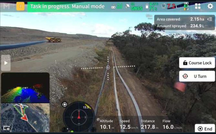
- BHP · 2025 — Dysart Agistment Land Weed Spraying Program. Site-specific treatment planning, chemical application and GPS-tracked spray records across agistment and mine-associated land.
- Stanmore Resources · 2024–current — Offset Area Weed Control & Monitoring. Aerial vegetation surveys, targeted weed control, GPS-mapped ground and drone application, monitoring and reporting supporting environmental compliance and rehabilitation.
- Stanmore Resources · 2024–current — South Walker Creek Mine Vegetation Management. Mine-site aerial and ground weed control, weed-density surveying, treatment planning, GPS spray records, post-treatment monitoring and compliance reporting.
Registered / approved supplier to BHP and Stanmore Resources. Full project records and references available on request.