Industrial drone operations
built for Australia's heaviest industries.
Aerial rehabilitation, precision spraying, and turnkey UAV equipment for mining, agriculture, and infrastructure. Trusted on Bowen Basin sites since 2022.
Where we deploy
Specialist drone services for high-stakes operations. Every job is supported by appropriate compliance documentation, SWMS, and PRCP records.
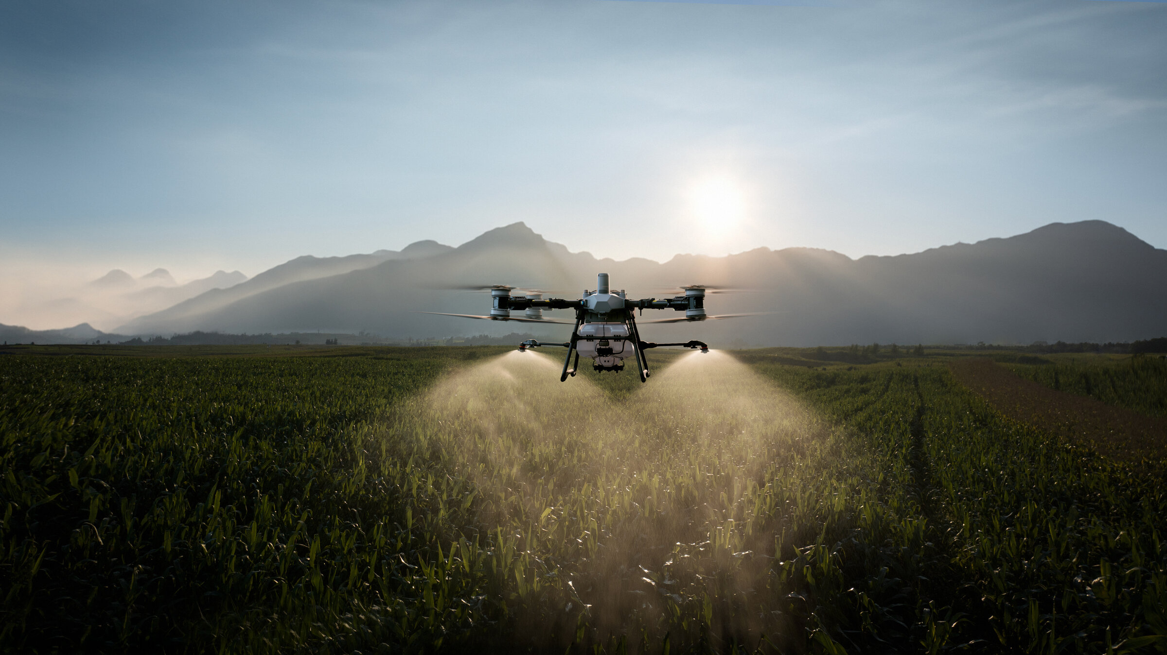
Aerial Rehabilitation
PRCP-compliant seeding and revegetation across mine rehabilitation areas. Precision payload application with verifiable coverage maps.
Learn morePrecision Spraying
ChemCert-accredited spray operations for stockpile weed control, agriculture, and overburden management.
Learn moreMapping & Survey
RTK-grade aerial mapping, photogrammetry, and survey deliverables. Stockpile volumetrics, terrain models, infrastructure inspection.
Learn moreBuilt for the field
Real-world experience across the sectors that demand reliability — not novelty.
Mining
Coal, metalliferous, and rehabilitation projects across the Bowen Basin.
Agriculture
Cane, fodder, broadacre. Precision spraying and crop monitoring.
Government
Council, defence, conservation. Compliance-first operations.
Consulting
White-labelled aerial data services for environmental and engineering consultancies.
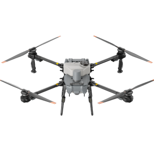
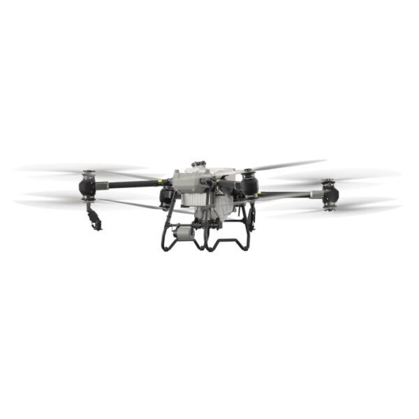
Flagship aircraft
DJI Agras, Matrice and FlyCart platforms — current generation, supplied as authorised dealer.
-
DJI Agras T25P Agricultural Drone Kit
$25,454.55In stockView details -

DJI Agras T100 Agricultural Drone
$27,618.18In stockView details -
DJI Agras T50 Agricultural Drone
$22,000.00In stockView details -
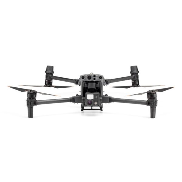
DJI Matrice 30T RPAS – Thermal Package (excludes TB30 Batteries) M30T
$12,066.36Backorder — ETA: 2 Jun 2026View details
Trusted on the jobs that matter.
Real ongoing client relationships across Bowen Basin mining operations and high-priority conservation work. Every job documented, every hectare accounted for.
-

Stanmore Resources
PRCP rehabilitation surveys, biocondition reporting, and GPS-tracked targeted spraying and seeding — 2,500+ hectares across OAMP, MRA2C, and South Walker Creek.
-

BHP
Weed density surveys and GPS-tracked targeted ground application across 280 hectares of offsets.
-

Fitzroy Basin Association
GPS-tracked targeted ground application across 1,000+ hectares of high-risk koala habitat.
Plan a job with our team.
Tell us the site, the area, and the window. We'll come back the same day with a fixed quote, availability, and the right aircraft for the conditions.