We fly a dedicated multispectral sensor — the DJI Mavic 3 Multispectral — capturing near-infrared, red-edge, red and green bands, then compute NDVI and related indices to turn canopy reflectance into a clear, comparable picture of vegetation vigour, density and stress.
The result is used to target weed control, track rehabilitation establishment and monitor change between rounds. In a treatment program the density map does real work: water and product rates are matched to infestation density block by block, and the next round is measured against it.
DJI Mavic 3 Multispectral — near-infrared, red-edge, red and green bands.
NDVI and related vegetation indices — vigour, density, stress.
Weed targeting, rehabilitation establishment and round-on-round change.
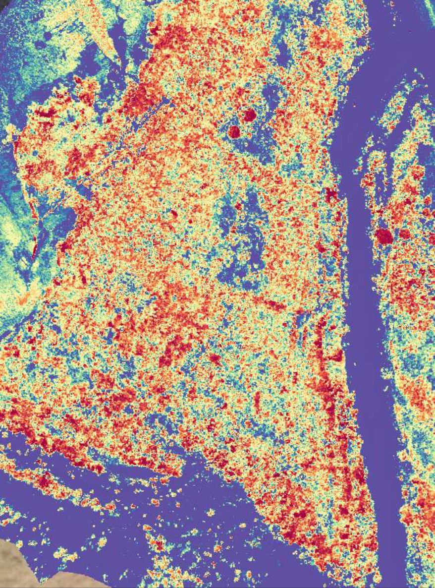
From reflectance to a decision
Index products
- NDVI and related vegetation indices across the survey area
- Vegetation vigour, density and stress classification
- Weed-density and vegetation-condition layers over the orthomosaic
Program use
- Treatment targeting and rate setting by block
- Rehabilitation establishment tracking against baseline
- Change detection between treatment rounds
- GIS layers in your coordinate system and formats
ApplicationsWeed targeting · rehabilitation establishment · offset condition · round-on-round change.