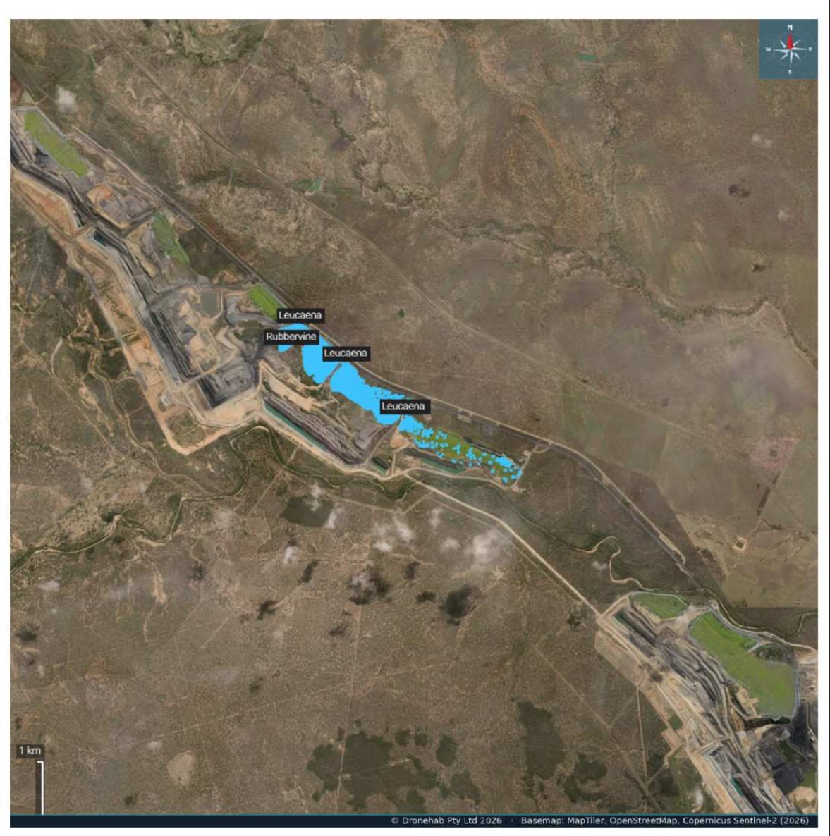
We manage offset and rehabilitation country end-to-end — baseline and repeat condition survey, declared-weed mapping and control, and reporting aligned to OAMP and EPBC obligations. Infestations are mapped and species-attributed over the orthomosaic with area calculations, so every round of works is measured against the last: what was found, what was treated, what changed.
The result is a defensible evidence chain from paddock to compliance report, reviewed by our ecologist / Suitably Qualified Person. We actively manage more than 10,000 hectares of offset country across the Bowen Basin on this basis.
Species-attributed infestations with area calculations over a survey-grade orthomosaic.
Round-on-round change detection against baseline — what was found, treated and changed.
Aligned to offset (OAMP) and EPBC obligations, reviewed by our ecologist / SQP.
Offset, rehabilitation and habitat work
Offset & environmental
- Baseline and repeat condition survey
- Declared-weed mapping and control across offset country
- Koala-habitat support and thermal fauna survey
- Offset vegetation management, monitoring and reporting
Mine rehabilitation
- PRCP rehabilitation surveys and biocondition reporting
- Aerial seeding and spreading with GPS-tracked coverage
- Post-disturbance seeding and dust suppression
- Rehabilitation establishment tracked with multispectral indices
ApplicationsEnvironmental offsets · mine rehabilitation areas · koala habitat · riparian corridors · agistment and mine-associated land.

Run as a program, not a visit
Baseline detection sets the treatment plan. Every application is verified against it from GPS as-applied records, regrowth is monitored round-on-round against the baseline, and follow-up treatment is scheduled until control is achieved.
Treatment planning and works programs, built over the survey baseline and aligned to OAMP / EPBC obligations where offsets apply.
RTK / PPK positioning, variable-rate flow control, GPS guidance on ground rigs, spray-diary capture on field tablets — every pass geolocated as it happens.
GPS spray records, as-applied coverage maps, product and rate data and compliance summaries — delivered in your GIS formats.