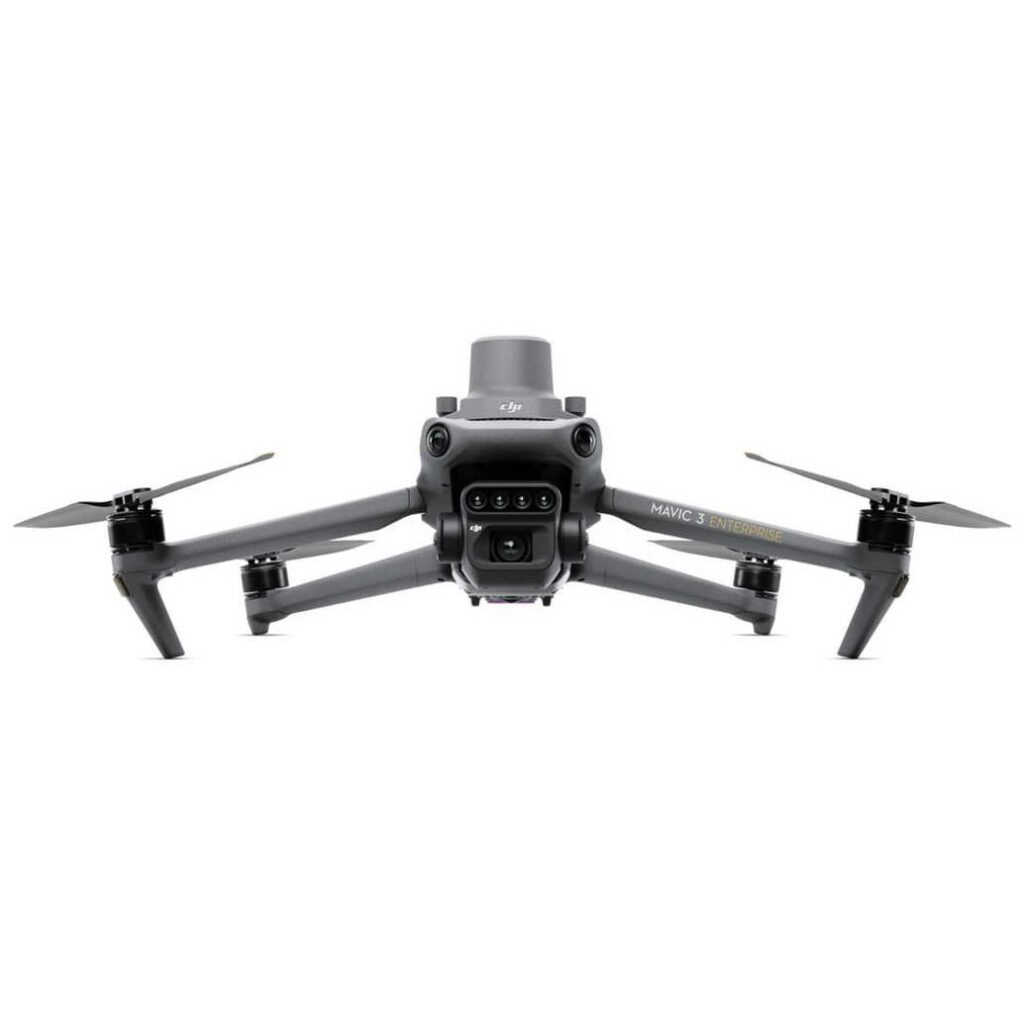
Mavic 3M
Aircraft
- Configuration
- Quad-rotor, foldable
- Take-off weight
- 951 g
- Max flight time
- 43 min
- Max wind resistance
- 12 m/s
- Operating temp
- -10°C to 40°C
Imaging
- RGB camera
- 4/3 CMOS · 20MP · variable aperture
- Multispectral cameras
- 4× 5MP · Green/Red/Red Edge/NIR
- Sunlight sensor
- Top-mounted, integrated
Mapping
- Coverage rate
- 200 ha (RTK enabled)
- Workflow
- DJI Terra · DJI Modify · third-party
- Outputs
- NDVI · NDRE · OSAVI · LCI · GNDVI
Positioning
- RTK precision
- ±1 cm horizontal (with optional RTK module)
- GNSS
- GPS, GLONASS, Galileo, BeiDou
- Obstacle sensing
- Omnidirectional binocular
Mavic 3M Aircraft
Foldable quad-rotor with integrated 20MP RGB + 4× 5MP multispectral cameras + sunlight sensor.
DJI RC Pro Enterprise
5.5-inch touchscreen controller.
Intelligent Flight Battery
5000 mAh battery (single — extras recommended).
Battery Charger
Mains-powered charger.
The Mavic 3M platform is compatible with:
- Batteries: Mavic 3 Enterprise Intelligent Flight Battery — minimum 1 included, 3+ recommended for working sessions.
- Charger: Battery Charging Hub (sold separately) charges 3 batteries in sequence.
- Controller: DJI RC Pro Enterprise (included).
- RTK: Optional RTK module clips on top — required for centimetre-grade mapping.
- Software: DJI Pilot 2 for flight, DJI Terra / DJI Modify for processing. Third-party: Pix4Dfields, Drone Deploy, Solvi.
- Outputs: NDVI, NDRE, OSAVI, LCI, GNDVI prescription maps.
Document downloads coming soon. Contact enquiries@dronehab.com.au for current documentation.
Frequently Asked
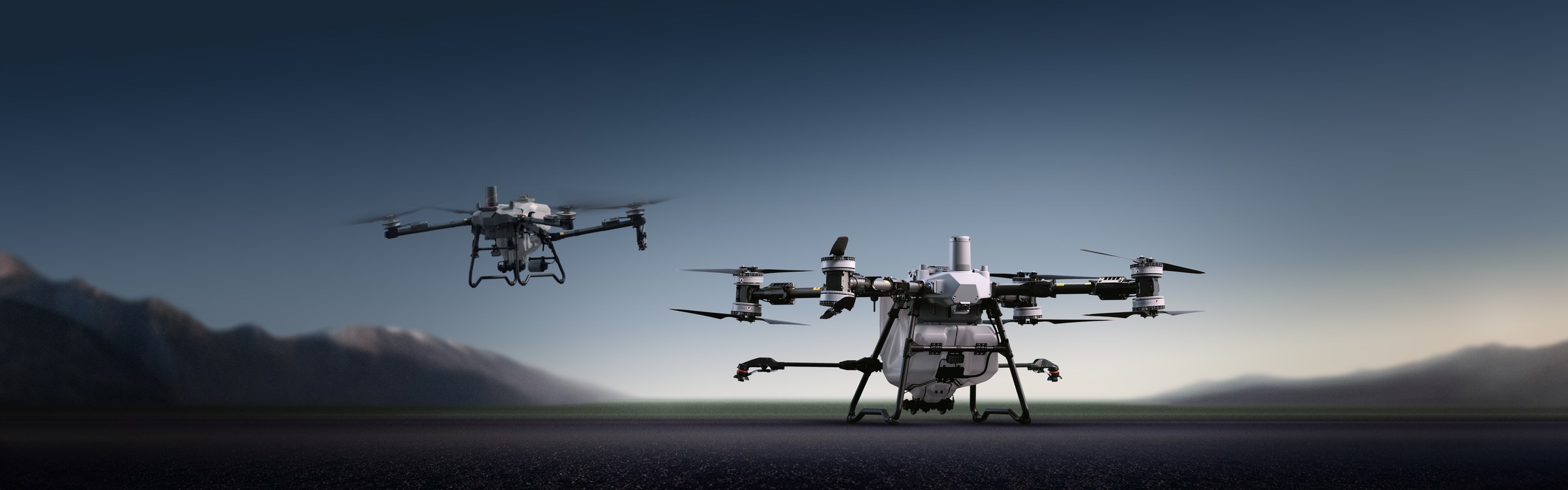
Crop health monitoring, variable-rate fertiliser and chemical prescription maps, plant counting, and any agronomy work that benefits from NDVI / NDRE / OSAVI imagery. It maps; it does not spray. Pair it with a T25P / T50 / T100 to apply what the mapping reveals.
For centimetre-grade mapping you do — the RTK module is sold as an add-on (or factor it into your kit). Without RTK you still get usable multispectral data, just with looser positioning.
A Remote Pilot Licence (RePL) is required. Dronehab partners with FPV Australia for training.
DJI Terra and DJI Modify (free with the aircraft) handle basic NDVI / NDRE / OSAVI outputs. For prescription-map workflows: Pix4Dfields, Drone Deploy, or Solvi. We can recommend based on your agronomy software stack.
Twelve months manufacturer warranty plus ongoing Dronehab support from our Mackay base. We handle Mavic warranty and out-of-warranty repairs in-house.